Přebuz
Mineral wealth below Hartelsberg Hill
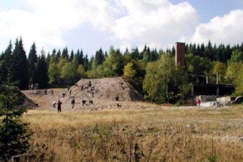
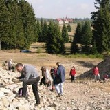
The westernmost tin district on the Bohemian side of the Krušné Hory Mts. spreads out in the environs of Přebuz. The last revival of mining here occurred during the German occupation. The waste tips were still being processed in the 1980s and have lately been used for road maintenance.
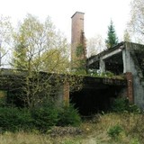
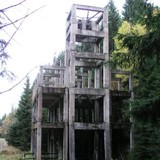
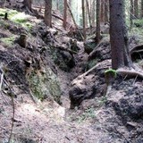
The remains of the Otto Mine as well as the mining remains called “pingen“ – basin- and funnel-shaped terrain hollows that formed due to the collapse of mined out underground areas or due to surface mining of minerals – attest to the extent of the mining activities that lasted for several centuries. Most of these are found in the forests at the foot of Hartelsberg Hill (Čertova Hora), which offers an excellent panoramic view of the wide surroundings in ideal weather conditions.
Přebuz lies at the heart of a natural park full of mountain spruce trees, meadows and upland peat bogs with relict plants from the Ice Age (Velké Jeřábí / “Great Crane“ Lake and Malé Jeřábí / “Small Crane“ Lake, Velký / “Great“ Swamp and Malý / “Small“ Swamp, Přebuz Heathland). Špičák Hill (990.8 m), the tallest peak in the Sokolov District, lies in the Přebuz Nature Park as well.


