Blatenský Leat
Energy for forest tin mines
In the 16th century, sufficient hydropower was a necessity for the mining and processing of ore in mining districts. The water from natural watercourses and artificial canals was used to operate water-powered mining machinery and dressing plants, and also to transport timber and firewood.
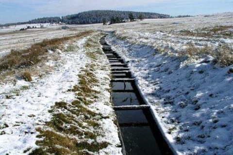
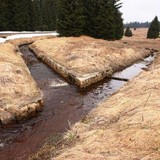
That was also the case in the Horní Blatná tin district, for which the leat was dug from the eastern edge of the Boží Dar Peat Bog through Myslivny, Ryžovna and Bludná to the northern slope of Blatenský Vrch Hill as far as Horní Blatná, where the leat is piped into Blatenský Stream.
The leat continued to be used for centuries. It was maintained on a regular basis until 1945 as a source of water for industrial operations and fire protection. In 1980, it was declared an immovable cultural monument and completely reconstructed in 1995-2001.
A nature trail leads along the Blatenský Leat. It starts at Boží Dar and, above Horní Blatná, connects to the Vlčí Jámy Nature Trail.


