Boží Dar Peat Bog
Nordic landscape
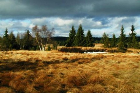
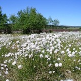
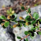
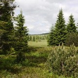
A nature trail of the Boží Dar Peat Bog reveals areas of unique natural beauty and rare flora and fauna. It leads near the edge of this national nature reserve that was established in 1965 in the area between Boží Dar and Rýžovna. The reserve protects a series of peat bogs that change into spruce stands and peaty mountain meadows, which are dominated by Špičák Vrch Hill (1115 m). The Blatenský Leat, an important technical monument constructed for the purpose of supplying the forest tin mines with water and wood, starts below Boží Dar.
Situated in the Krušné Hory Mts., Boží Dar (1028 m ASL) is the highest town in Central Europe. The first settlers began to arrive in the environs already at the end of the 15th century, but a larger influx of mining prospectors from Saxony and, somewhat later, also from Jáchymov in Bohemia did not occur until after 1529. That year, in connection with the discovery of silver ore, the Saxon prince-elector Jan Bedřich declared the western slope of the Fichtelberg available for prospecting for the part of the Schwarzenberg estate, which adjoined Jáchymov. In the summer of 1533, the boundaries of a new town were staked out on the hilly plain. The settlement was named Boží Dar and bestowed the privileges of a free mining town during the prince-elector´s visit in 1546.
Mining operations were renewed near Boží Dar for the last time after World War II – in addition to tin and tungsten, the main interest was in uranium.


